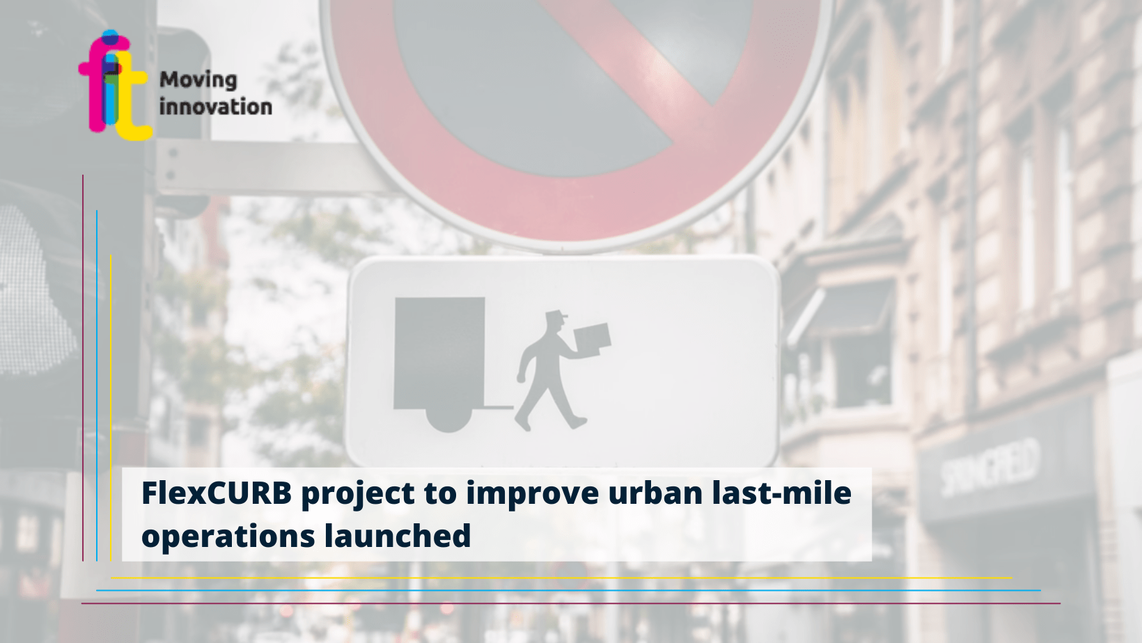
The kick-off meeting of FlexCURB was virtually held on Tuesday 11 January. This was an opportunity to understand the needs of all the stakeholders involved in the project as well as their expectations and officially launch the activities that will follow. With the help of very diverse living lab cities from all around Europe and logistics experts, the FlexCURB project will focus on improving urban last-mile operations by enabling sectoral collaborations and tailoring tools to improve the way city logistics is currently understood, coordinated, and regulated.
Freight transport is responsible for 15% of traffic, 25% of urban transport CO2 and 40% of NOx emissions in main European urban areas. The World Economic Forum projects that, without any intervention, the number of delivery vehicles will increase by 36% until 2030, adding to greenhouse gas emissions and traffic congestion, mostly induced by second-lane parking.
The collaboration with the 4 pilot cities will deliver innovations, in the form of 2 marketable products:
1) The FlexCURB Planning platform
2) The FlexCURB Driver App
With the FlexCURB Planning Platform as the interface, the public sector partners will be able to:
- Pilot dynamic traffic regulations to meet the demands of an ever changing network. Underutilized spaces could be freed up for freight to mitigate congestion.
- Analyse and monitor the live and historical usage of parking assets.
- Connect logistics APIs, sharing curb side and traffic restrictions, reducing network disruption, and solving conflicts with vulnerable road users.
The FlexCURB Driver App, will provide logistics service providers with:
- Route planning based on active traffic regulations. Operators will be able to use open traffic regulation data to plan their routes based on existing restrictions.
- Delivery locations to plan freight movements based on the location of loading / unloading areas.
- Curb reporting: feedback of network disruption, blocked assets, and issue management driving faster resolution.
The FlexCURB project is co-funded by EIT Urban Mobility.
The partners involved in the project are CTAG, Urban Radar, CARNET, University of Ghent, city of Funchal, city of Toulouse, city of Strasbourg, city of Leuven, POLIS, and FIT Consulting.

